Nautical charts and instruments

zoom icon
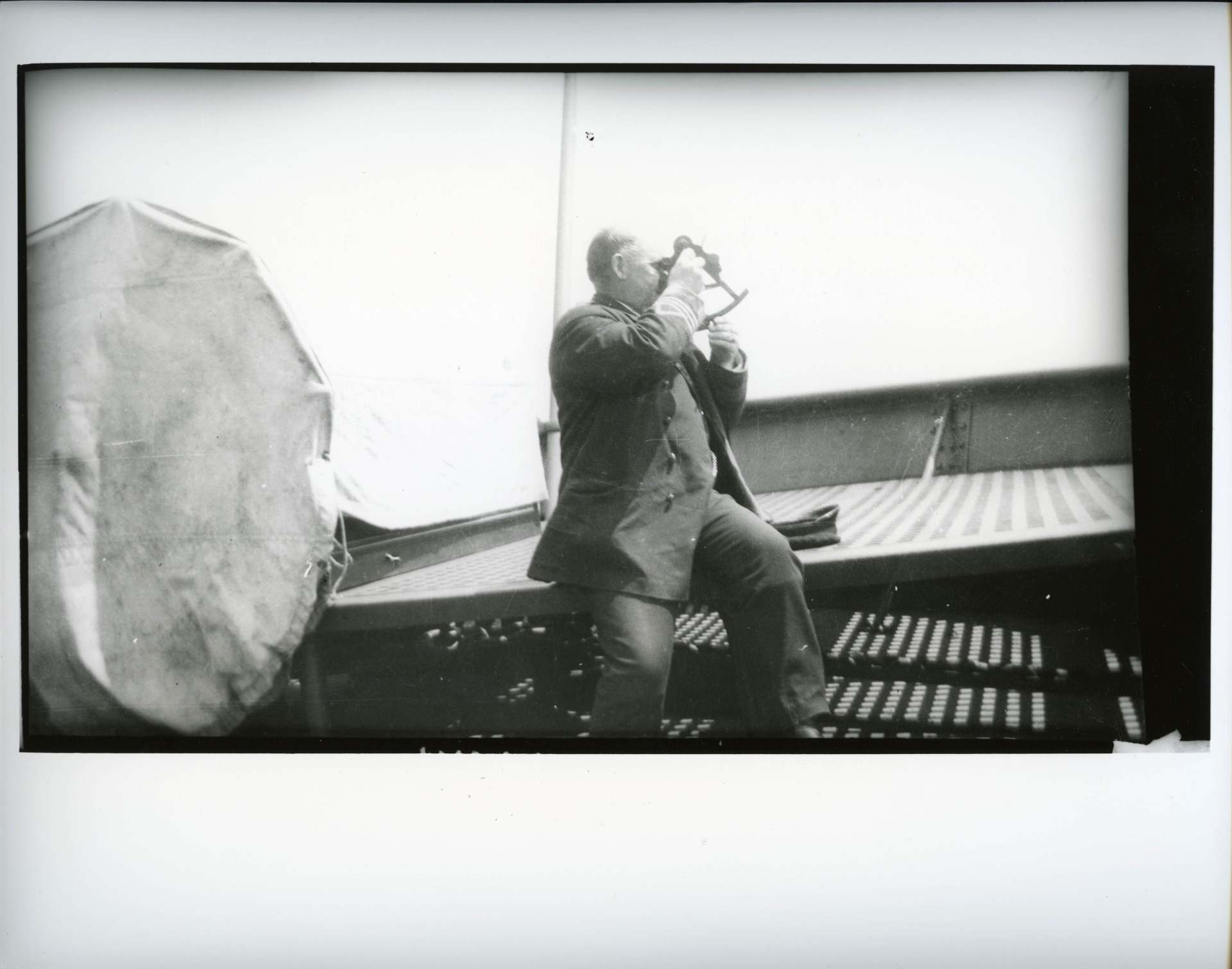
Captain Peter Johnson with a sextant, MMQ coll. 2001.2.3
zoom icon
Map produced circa 1542 by the Dieppe School, showing the new land of Canada based on Cartier’s writings. The north is at the bottom.
Public domain

zoom icon
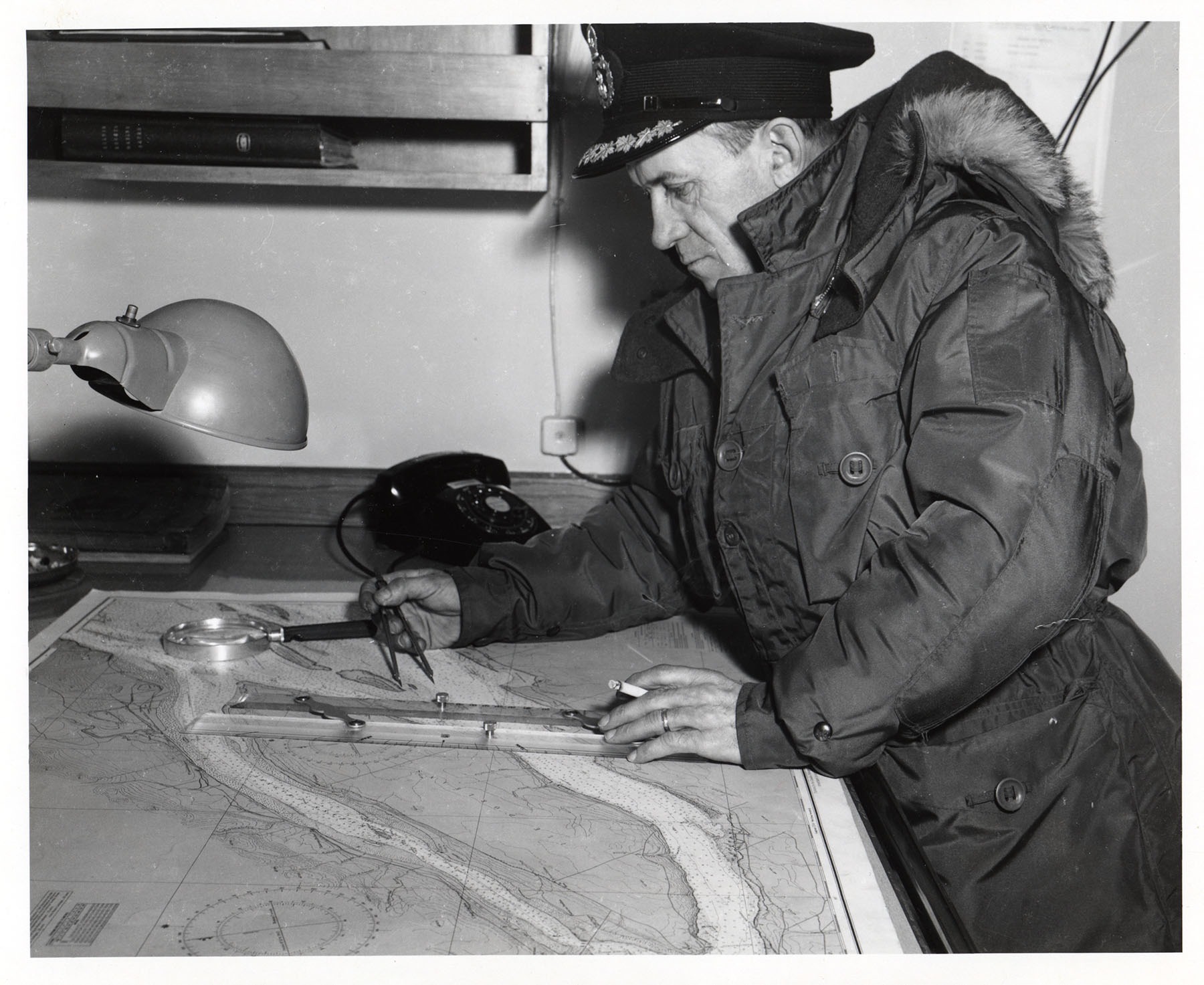
Captain Marius Gagné with nautical chart, parallel ruler and dry point compass (navigation compass), on the D’Iberville, MMQ coll. 1977.174.1-2

Discover navigation instruments.

Contenu VideoYoutube externe bloqué

Pour voir le contenu de VideoYoutube, vous devez consentir au stockage de cookies tiers et au traitement des données par VideoYoutube. Consultez notre Politique de confidentialité pour plus d'informations.


Listen to the other two podcasts: