 0
0Saint-Charles River: a witness to history
Long used by Indigenous people as an inland navigation route, the Saint-Charles River has played an important role in the region’s history. Jacques Cartier and his crew, the first French explorers of the region, spent the winter on its shores in 1535–1536. Back then, the river was much wider than it is today, and it served as a natural port for the French explorers. Over the centuries, it has undergone many changes.
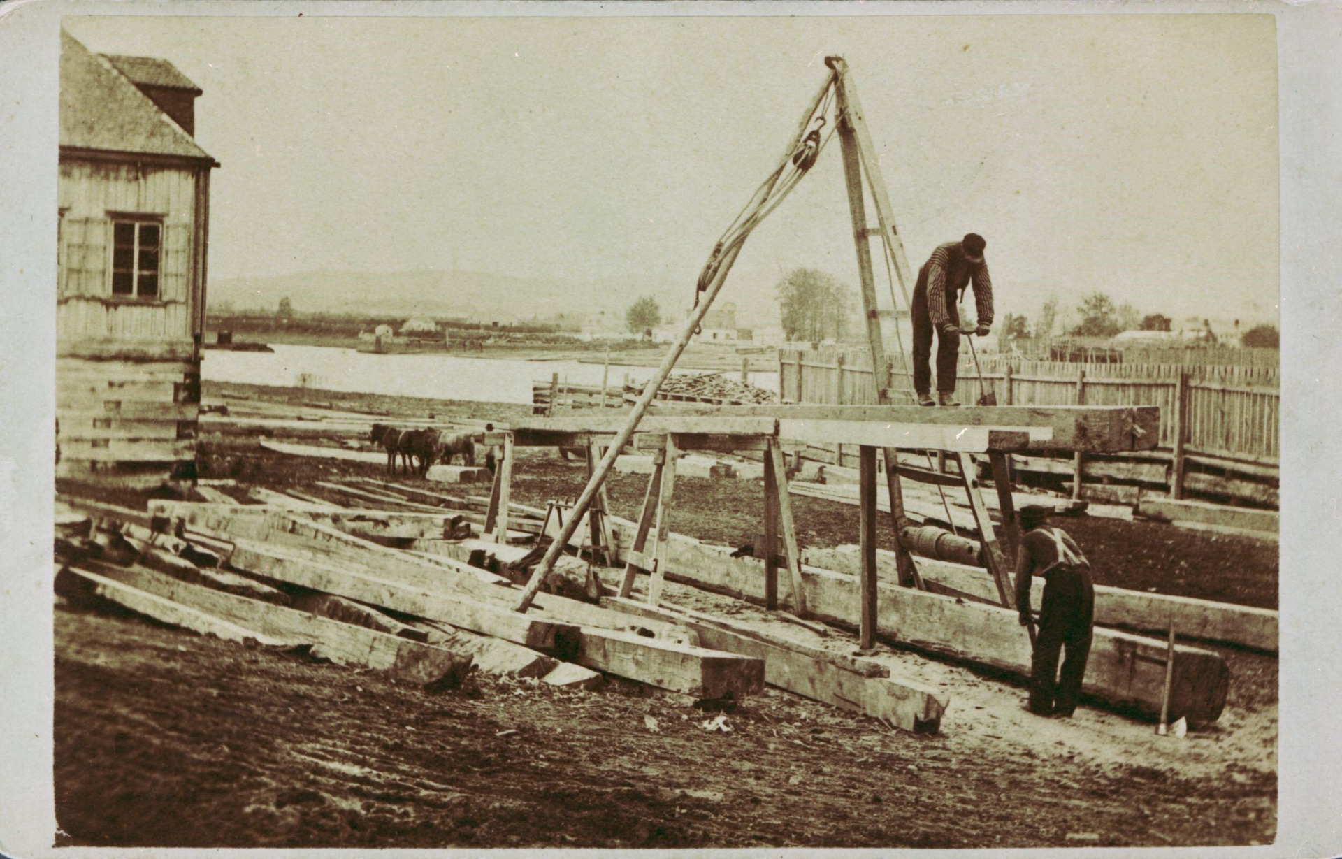
With the rise of the timber trade in the 19th century, the Saint-Charles River became an important industry player. Its sheltered, deep estuary at high tide made it an ideal place to stockpile timber. Shipyards quickly set up operations there, taking advantage of how abundant timber was and how easy it was to ship materials on the river. They also built housing for the workers on the riverbanks.

Business boomed, especially since large ships could be launched on the spring and fall tides. By the mid-1850s, some 20 shipyards had been established on both sides of the Saint-Charles River, employing 2,000 workers.
By 1870, the shipbuilding industry was on the decline. Abandoned shipyard sites became prime locations for industries that required large quantities of water.

In those days, people weren’t very concerned about the environment. Animal carcasses, toxic waste, household waste and even the city’s sewage system all landed in the river. People assumed the tides would carry everything away, but they proved insufficient since the estuary was twice as wide as it is today.

The quality of the water and riverbanks were quickly deteriorating. Diseases were spread by the river, and the banks were infested with rats that sometimes attacked passers-by.
Previously perceived as a dumping ground, the Saint-Charles River was cleaned up between 1969 and 1973. Inspired by Ottawa’s Rideau Canal, the city put in concrete along 2.5 miles of its banks.

But this proved to be a serious mistake. The Saint-Charles River is not a canal but a living river. It was being choked by the concrete, while sewage continued to be dumped into the water. It became one of the most polluted rivers in Quebec. The attempt at artificial beautification was a failure.
This wasn’t the only time the river’s natural bed was altered. In the late 1950s, one of its primary bends was filled in to straighten the Saint-Charles riverbed. The idea was to get rid of the river bend around Victoria Park.

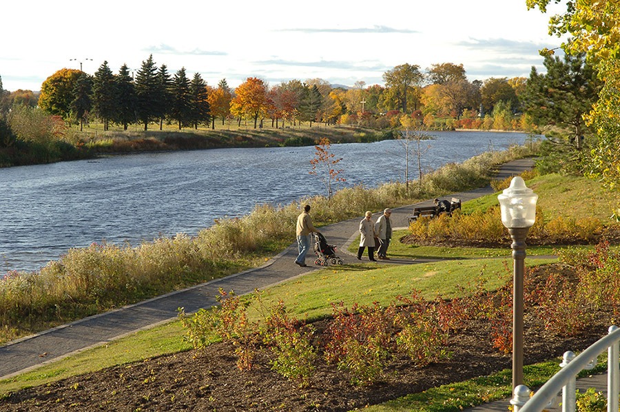
Fortunately, a vast renaturalization program has restored the river to its former beauty in recent years. Natural banks have been restored, trees and plants have been planted and water quality has improved considerably.

Today, the Saint-Charles River Linear Park includes 20 miles of trails from the mouth of the river to its source, that is, from the Old Port of Québec City to Saint-Charles Lake. Interesting fact: the trails go through Wendake, the capital of the Huron-Wendat nation.

In the middle of the community, you can safely view the Kabir Kouba Falls from the nearby overlooks.

