

Waterfalls

One of the most outstanding scenic features of the Saint John River is the Grand Falls waterfalls. No description or illustration can truly capture the majesty of these falls. The waterfalls features seventy-five feet (75') of direct fall followed by forty-five feet (45') of cascading water.
The main waterfalls are nearly vertical. At their base, a massive rock fragment causes the water to rumble incessantly, sending a dense column of spray. When sunlight falls on the moving spray, a rainbow shimmers above the wild, foaming waters below.
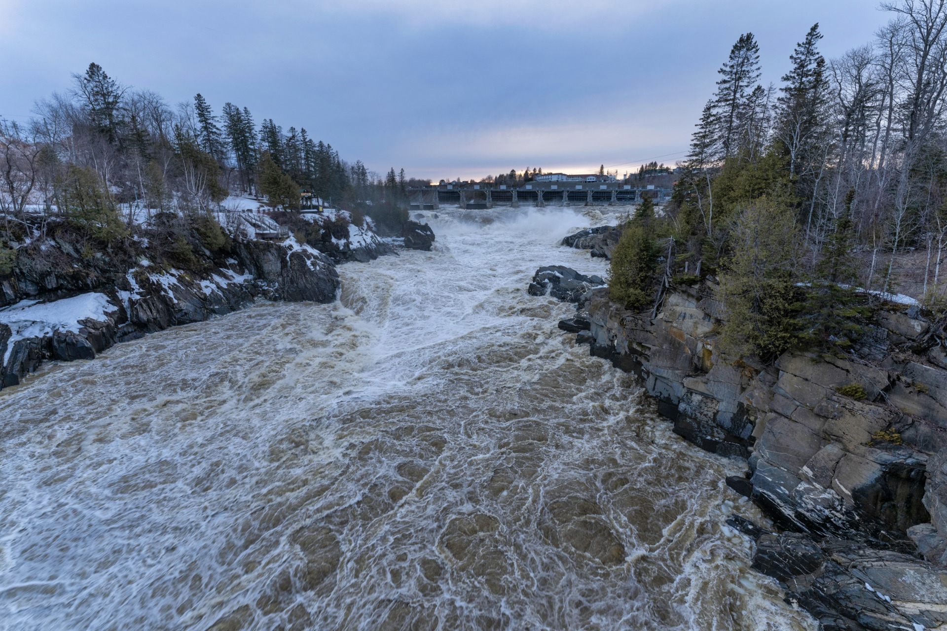
In the spring, the volume of the waterfall reaches its peak flow, averaging 1,650 cubic meters per second. During this time, the Saint John River surges over a rocky ledge and plunges violently into the gorge, creating a deafening roar and a thrilling spectacle. At peak volume, the water can rise as high as the vegetation seen along the gorge walls.
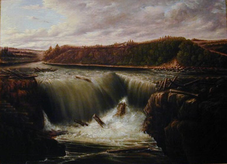
Remarkably, in the spring, up to 90% of the volume of Niagara Falls passes through the Grand Falls cataracts, making it the second-highest maximum-flow waterfall in Canada.
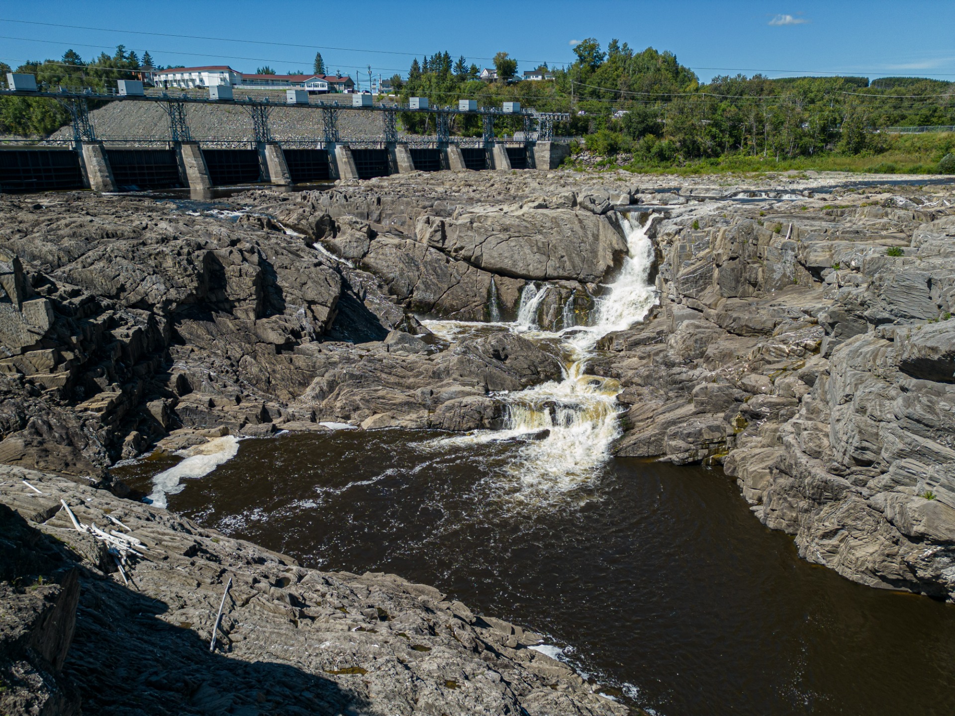
During the dry season, the falls themselves may be disappointing to some because of the low water levels. However, this low water flow exposes the rock formations of the falls and the gorge, which is quite fascinating. During this time only the runoff of "Little River" descends the chasm, and makes its way over the sun-baked rocks in a series of small cascades.
Contenu Video externe bloqué
Pour voir le contenu de Video, vous devez consentir au stockage de cookies tiers et au traitement des données par Video. Consultez notre Politique de confidentialité pour plus d'informations.
Contenu Giphy externe bloqué
Pour voir le contenu de Giphy, vous devez consentir au stockage de cookies tiers et au traitement des données par Giphy. Consultez notre Politique de confidentialité pour plus d'informations.
Here's how it all began:
The Grand Falls Waterfalls Formation
The Grand Falls waterfalls are the result of a postglacial river rerouting and erosion process that followed a series of glacial advances and retreats during the Late Wisconsinan glaciation.
Series of Events:
- Glacial buildup & valley fill
During the last Ice Age, two major glacial phases shaped the region : an early phase with ice flowing from local centers and Laurentide invasion, and a later phase with a dominant Appalachian ice divide.
Before the final glaciation, the Saint John River was filled with up to 60 meters of sediment from glacial lakes and meltwater streams. This included older glacial till (a mis of rock, sand and clay left by glaciers).
- Retreat & isostatic rebound
As glaciers retreated, the Earth's crust, previously compresses under the weight of the ice, rebounded upward ; a process known as isostatic rebound.
This rebound altered regional drainage, causing the Saint John River, which had been flowing northward into the St. Lawrence river, to reverse course flow southward.
- Blocked ancient valley & river diversion
At Grand Falls, the river's original bedrock valley had been completely filled with glacial drift. When the river began to flow southward, it was unable to return to its original channel and instead cut through a former tributary valley (known as Falls Brook), which was incised into bedrock.
- Waterfalls and gorge formation
The redirected river began eroding the bedrock, forming the deep gorge and Grand Falls waterfalls we see today. The waterfalls have since retreated slightly upstream (less that 1 km) due to ongoing erosion. South of the falls, erosional terraces developed alongside the river, keeping pace with the progressive deepening of the gorge.
-y6ku610.gif?alt=media&token=8dec55de-ebfb-47b5-99f1-c2e474c3762d)
Oh my, that was lots of information!
Contenu Giphy externe bloqué
Pour voir le contenu de Giphy, vous devez consentir au stockage de cookies tiers et au traitement des données par Giphy. Consultez notre Politique de confidentialité pour plus d'informations.
The first written description of the Grand Falls' waterfalls:
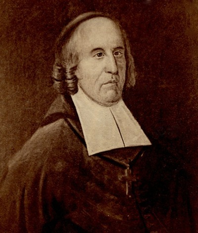
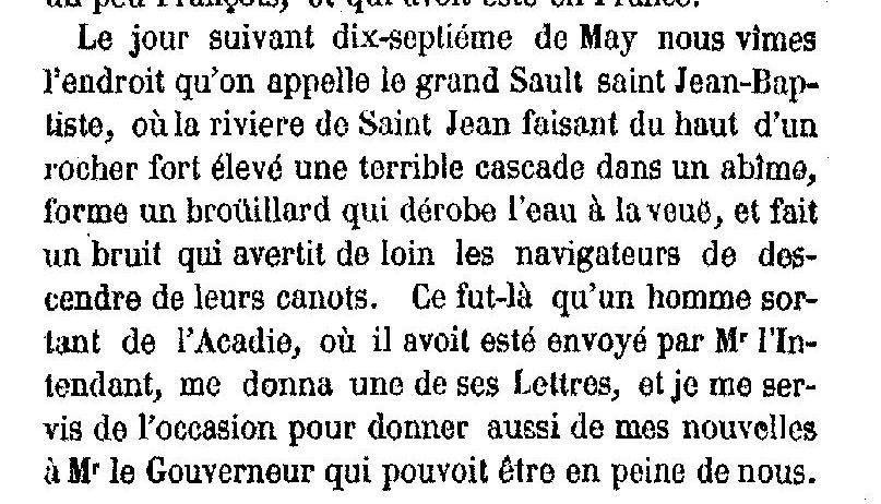
Below is the translated description in English of the Falls as seen by Bishop Saint Vallier in 1686. The description appeared in "Estat présent de l'église et de la colonie Française dans la Nouvelle-France" Published in France in 1688 and subsequently in Québec in 1856.
"The next day, the seventeenth of May, we saw the place called the Grand-Sault Saint Jean-Baptiste, where the Saint John River making from the top of a very high rock a terrible waterfall into an abyss, forms a fog which steals the water from view, and makes a noise which warns the navigator from afar to get off their canoes. It was there that a man coming out of Acadie, where he had been sent by Mr. Intendant, gave me one of his letters, and i took the opportunity to give news also to the Governor worried about us."
You will find a monument in his honor in the O.B. Davis Park, which is located on the right after crossing the Ron Turcotte Bridge. It is one of the very few historic monuments in the province given to us by the Government of Canada.
Overview of Saint-Vallier's Journey through Acadia:
Abbé Saint-Vallier's first sojourn in Canada lasted 18 months. In spring of 1686, he departed, accompanied by two priest and a small escort to distant Acadia. Without even waiting for the ice to melt, they went from river to river and lake to lake. Sometimes, they even had to break the ice to get the canoes through. For a moment they thought they would die of hunger. However, then came summer, with its unbearable mosquito bites and stifling heat. Wherever they met French and Indigenous people, Bishop Saint-Vallier preached, catechized, blamed, and praised. Bishop de Saint-Valier ate little, barely slept, and worked incessantly.
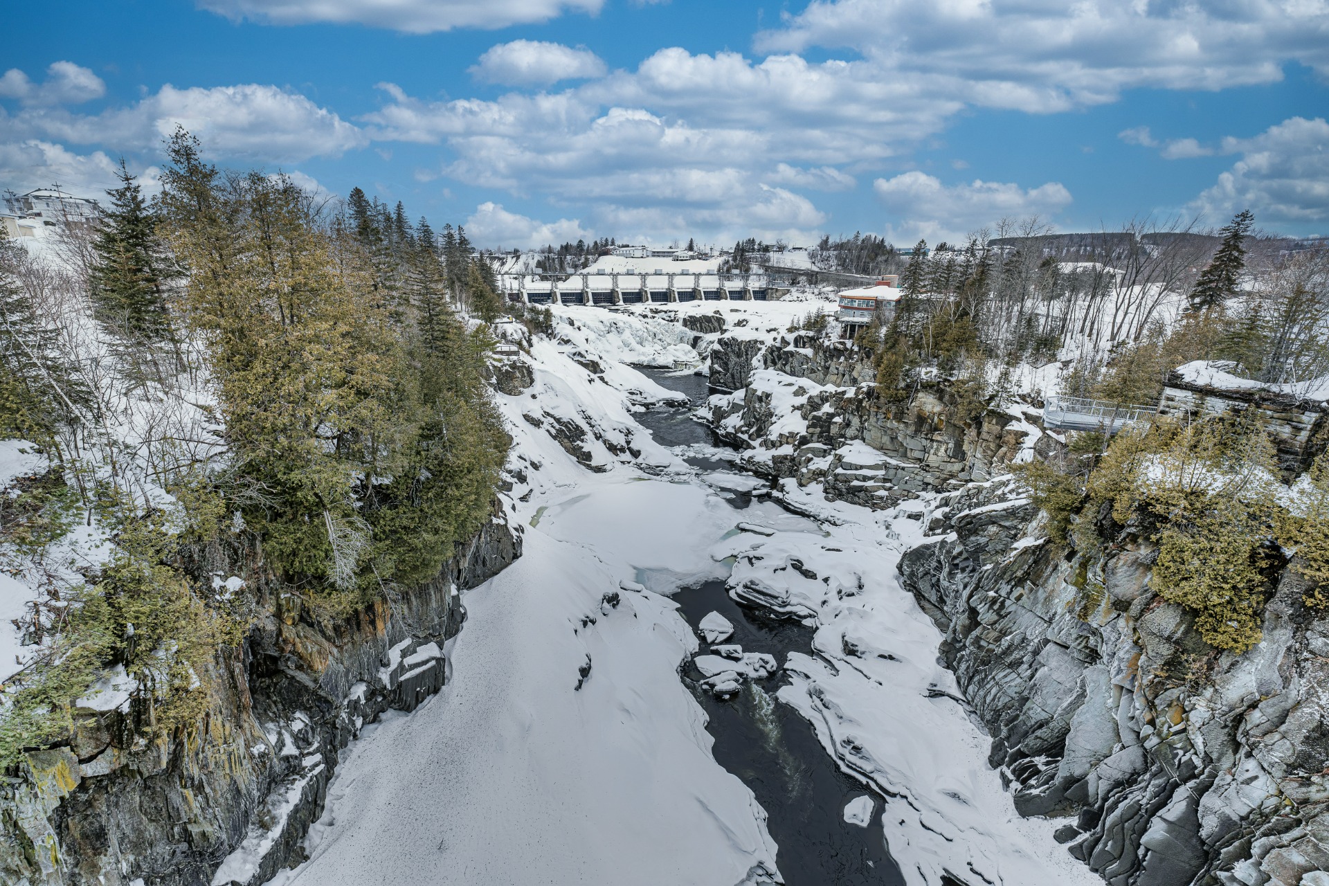
Pictures of the waterfalls in all 4 seasons

Contenu GoogleMaps externe bloqué
Pour voir le contenu de GoogleMaps, vous devez consentir au stockage de cookies tiers et au traitement des données par GoogleMaps. Consultez notre Politique de confidentialité pour plus d'informations.