

The River Provides
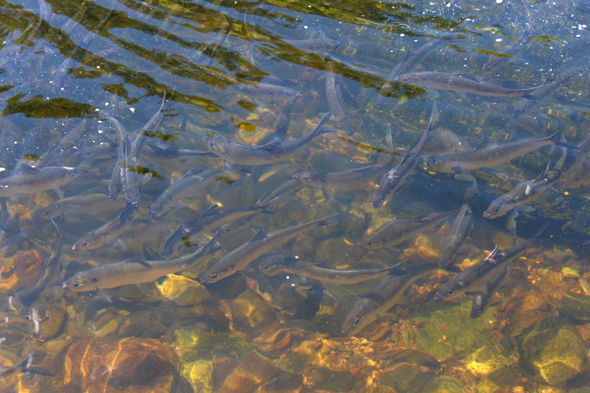
m̥soákw̥-htə́kw̥ was a complex watershed that provided a seasonal fishing ground, abundant riparian wildlife, and copious agricultural areas along its winding path from the White Mountains to Saco Bay.
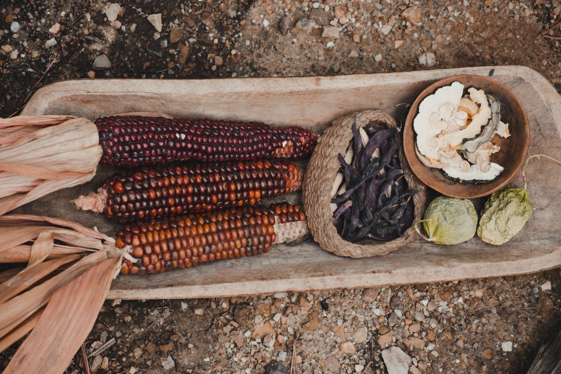
Samuel de Champlain's map makes notes of the agricultural areas at the river's mouth, with Wabanaki communities growing corn, squash, and beans among other crops. This is often referred to as "three sisters" planting.
The cities of Saco and Biddeford have both been documented to contain prime agricultural soils.
This is partly due to the periodic flooding of the Saco River over time, where the river's waters entered the floodplain, and brought nutrients that created fertile soil conditions that make farming in this region very successful.