

Military Relics and Natural Splendour
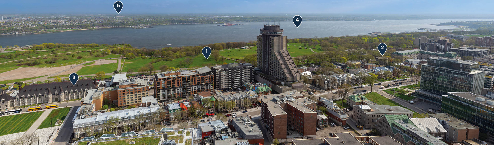

Audio guide:
Find here the images that accompany the audio guide:
On the southern side of Québec City you can see the famous Plains of Abraham (1), a site steeped in history. It was here that a decisive battle between French and British troops took place on September 13, 1759. Picture the scene: British soldiers, led by General Wolfe, climbed the cliffs of Cape Diamant at dawn to surprise the French under the Marquis de Montcalm. A few hours later, the battle was over, changing the course of history for Québec City and Canada.
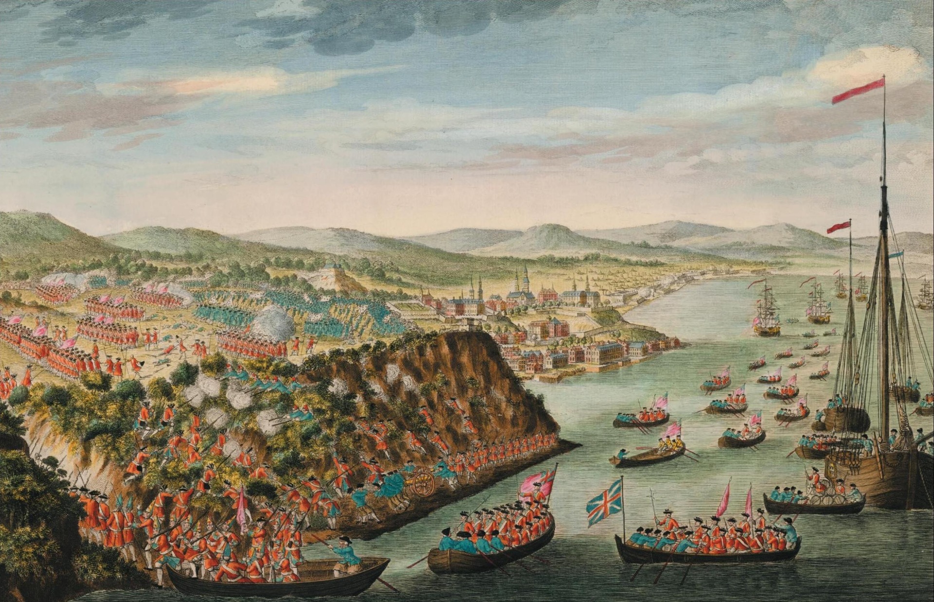
Québec City came under military rule after the British victory. The British strengthened their positions by erecting fortifications, including the ramparts and the Citadel. They also built the fortified towers known as the Martello Towers.
Depending on the season, you may be able to see Martello Tower 2 on the right (2). In the summer, it can be tricky to spot through the trees!
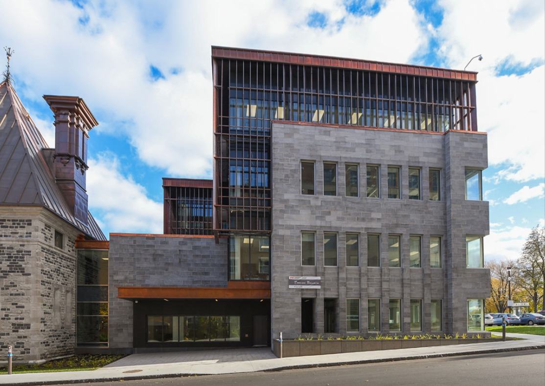
Another building stands out on the left, near the Plains of Abraham. It is the Armoury (3). The building was completed in 1887 following plans by architect Eugène-Étienne Taché, who also designed the Parliament Building a few years earlier.
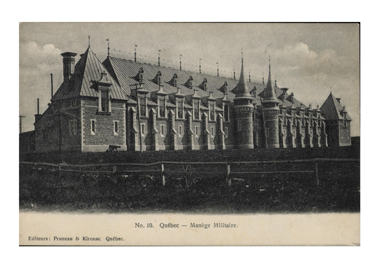
With its steep gabled roof, conical towers and whimsical motifs, the Armoury perfectly embodies the Château Style. It was the first building in Québec City to adopt this style, even before the famous Château Frontenac.
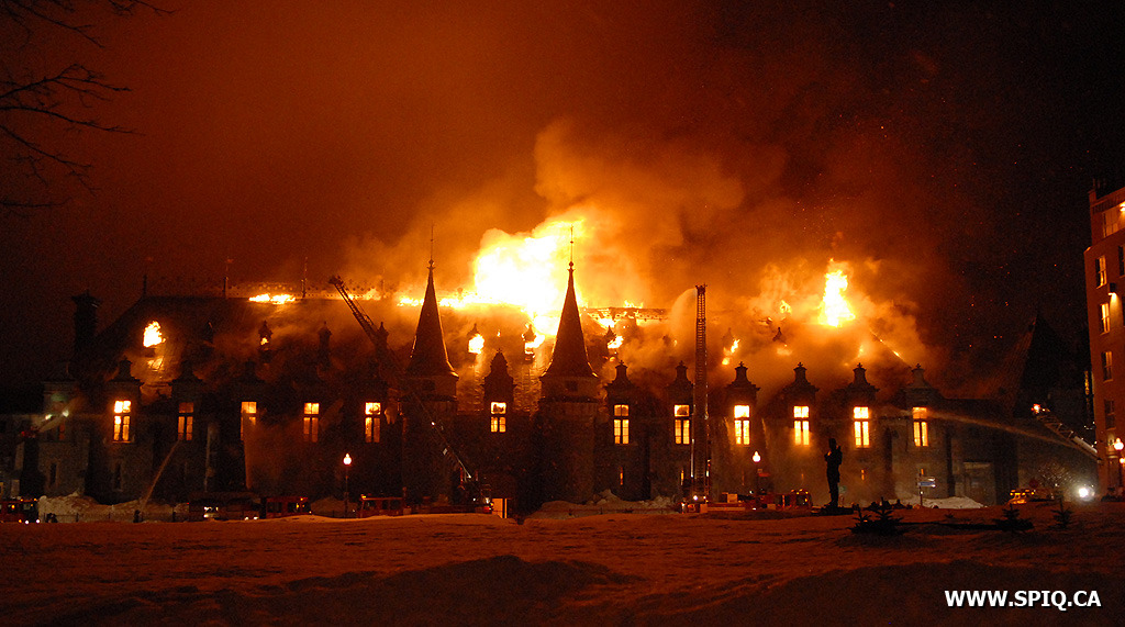
In 2008, a fire destroyed a large part of the Armoury. Only the central arched doorway and adjacent turrets were saved.
The reconstruction, completed in 2018, preserved the building’s original appearance and added a contemporary section. You can see its flat white roof on the right side of the building.
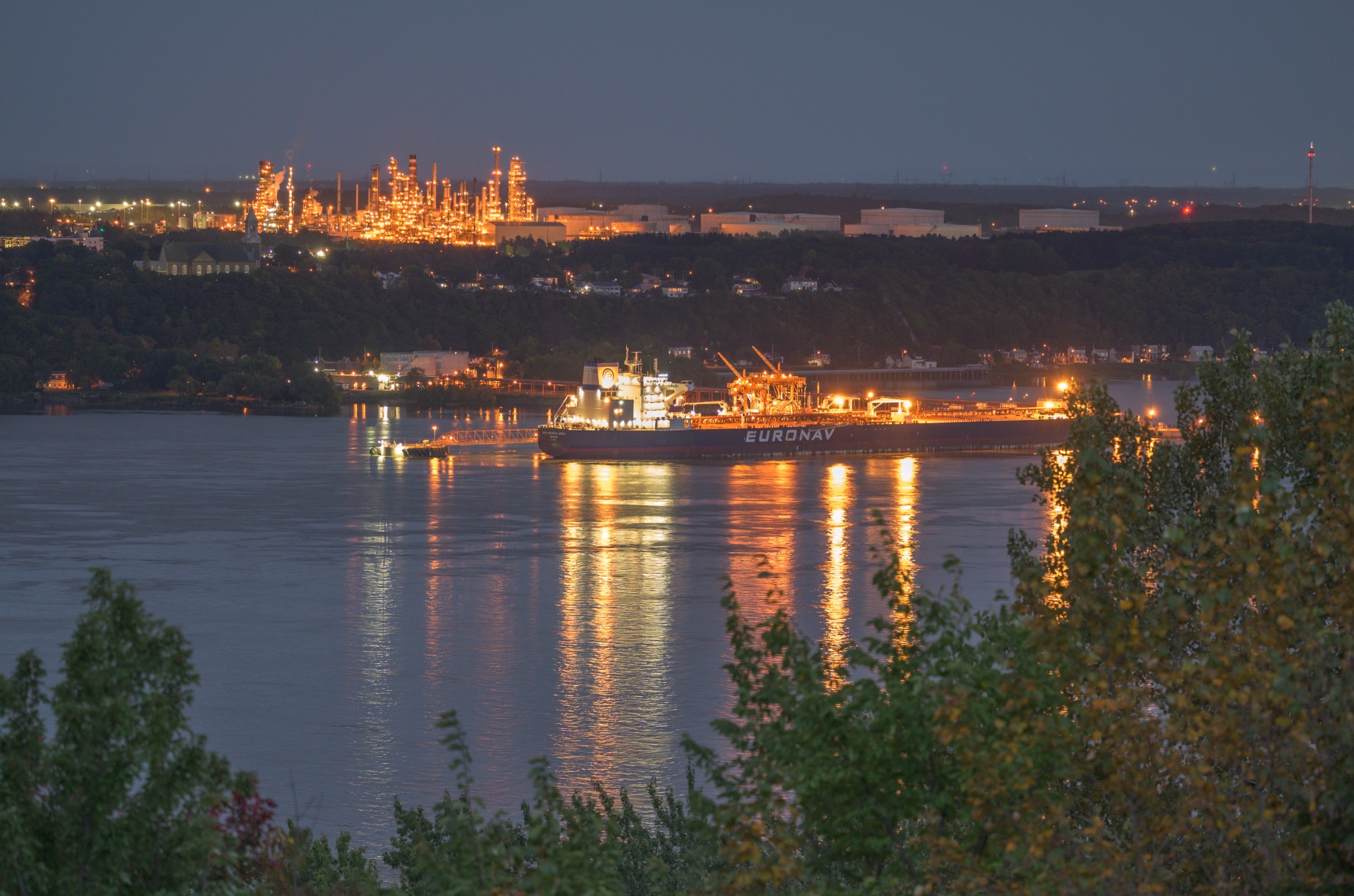
And now, to conclude your visit, take a look at the most spectacular aspect of this panorama—the St. Lawrence River (4). This watercourse has shaped the region for thousands of years, connecting the Great Lakes to the Atlantic Ocean.
If, in New France, the French baptized it the “Saint-Laurent” and the English later called it the “St. Lawrence,” the river has gone by Indigenous names since time immemorial. It is called the “great waterway,” in Iroquoian languages and “the path that walks,” in Algonquin. It’s one of the oldest navigable watercourses in the world. Archaeological digs have revealed Indigenous presence here dating back to almost 9,000 BCE.
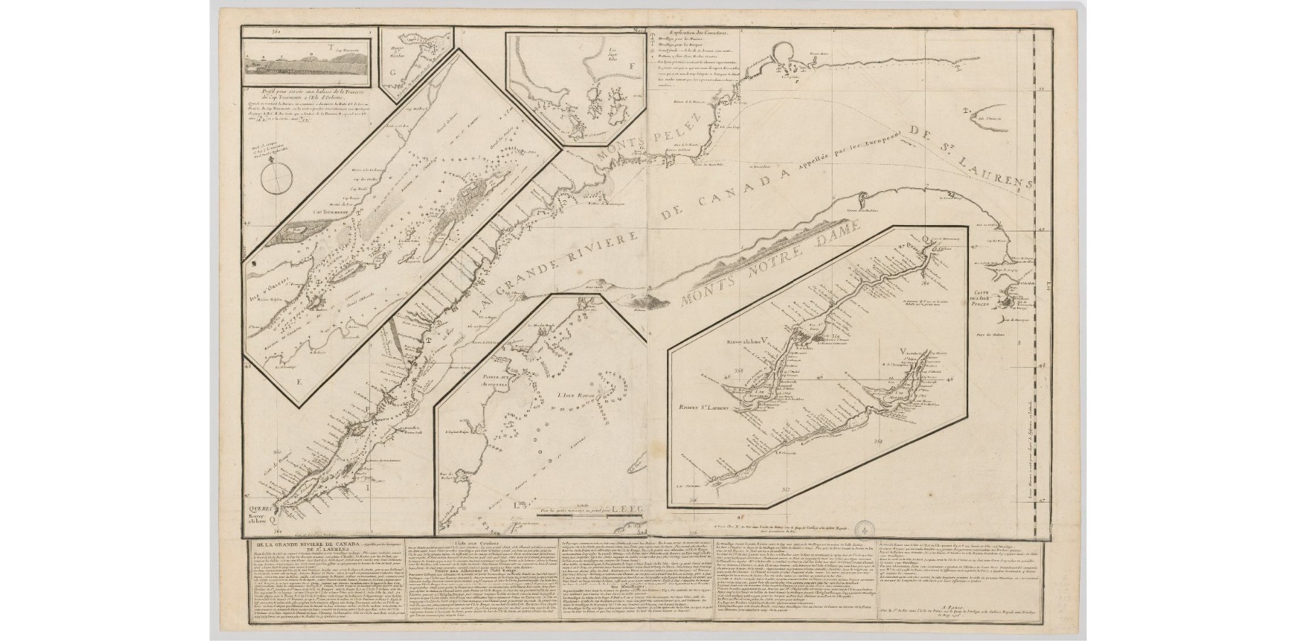
The St. Lawrence crosses through the province of Quebec from East to West and has been a key factor in its settlement. More than 80% of Quebec’s population still lives on its shores or along its tributaries.
On the southern horizon, the Appalachian Mountains (5) complete the landscape. This mountain chain, formed over 480 million years ago, stretches from Alabama in the United States to the Gaspé Peninsula in eastern Quebec.
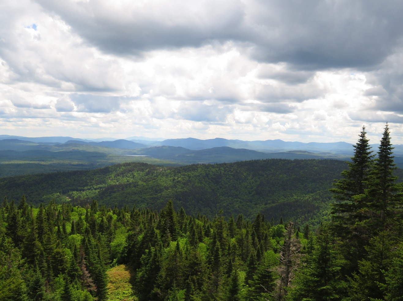
The St. Lawrence and the Appalachians keep silent watch over the area. Their enduring presence is inseparable from the history of Quebec’s capital.
Want to learn more about the southern side of Québec City? Click on the topics that interest you!
Different ways to explore Québec City
Spotlight on history
Find the locations mentioned in the audio guide on our personalized Google map and continue the adventure after your visit to the Observatoire de la Capitale!
Contenu GoogleMaps externe bloqué
Pour voir le contenu de GoogleMaps, vous devez consentir au stockage de cookies tiers et au traitement des données par GoogleMaps. Consultez notre Politique de confidentialité pour plus d'informations.