

An Urban Saga

Audio guide:
Find here the images that accompany the audio guide:
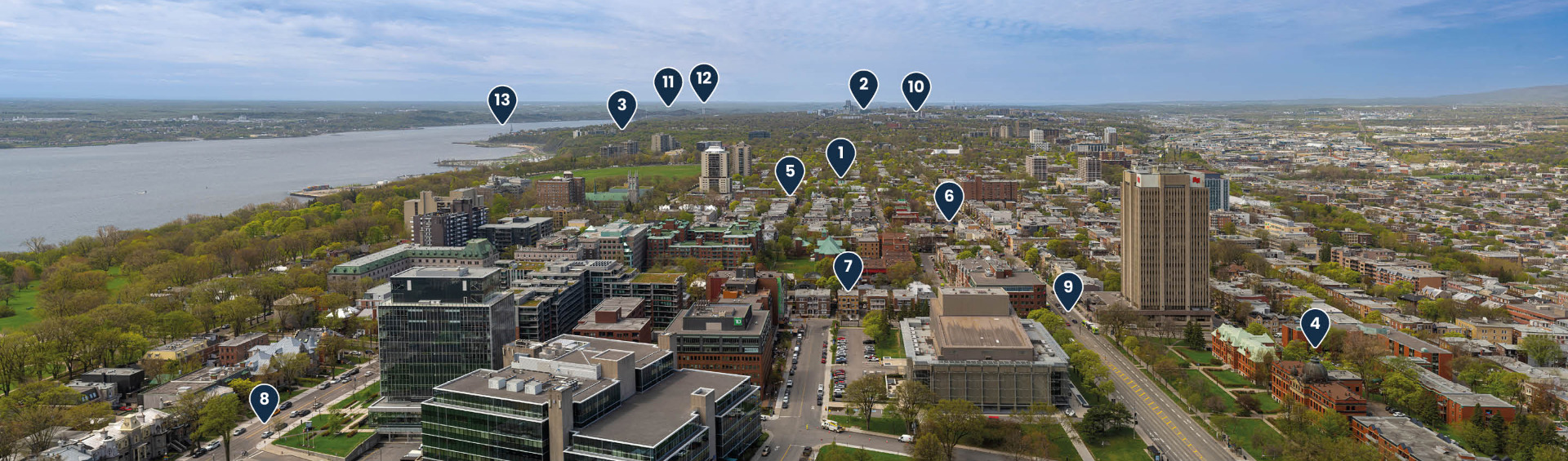
As you look west from the Observatory, you’ll get a striking view of the changes Québec City has experienced since the second half of the 19th century. Most of what you are seeing to the west is the Montcalm District (1) and the Sainte-Foy (2) and Sillery (3) boroughs. Although urbanization has spread throughout the area, there are plenty of trees. In summer, the houses are barely visible.
Not far from here, several red brick buildings with majestic roofs are clearly visible. These are the remaining buildings of the former Jeffery Hale Hospital (4).
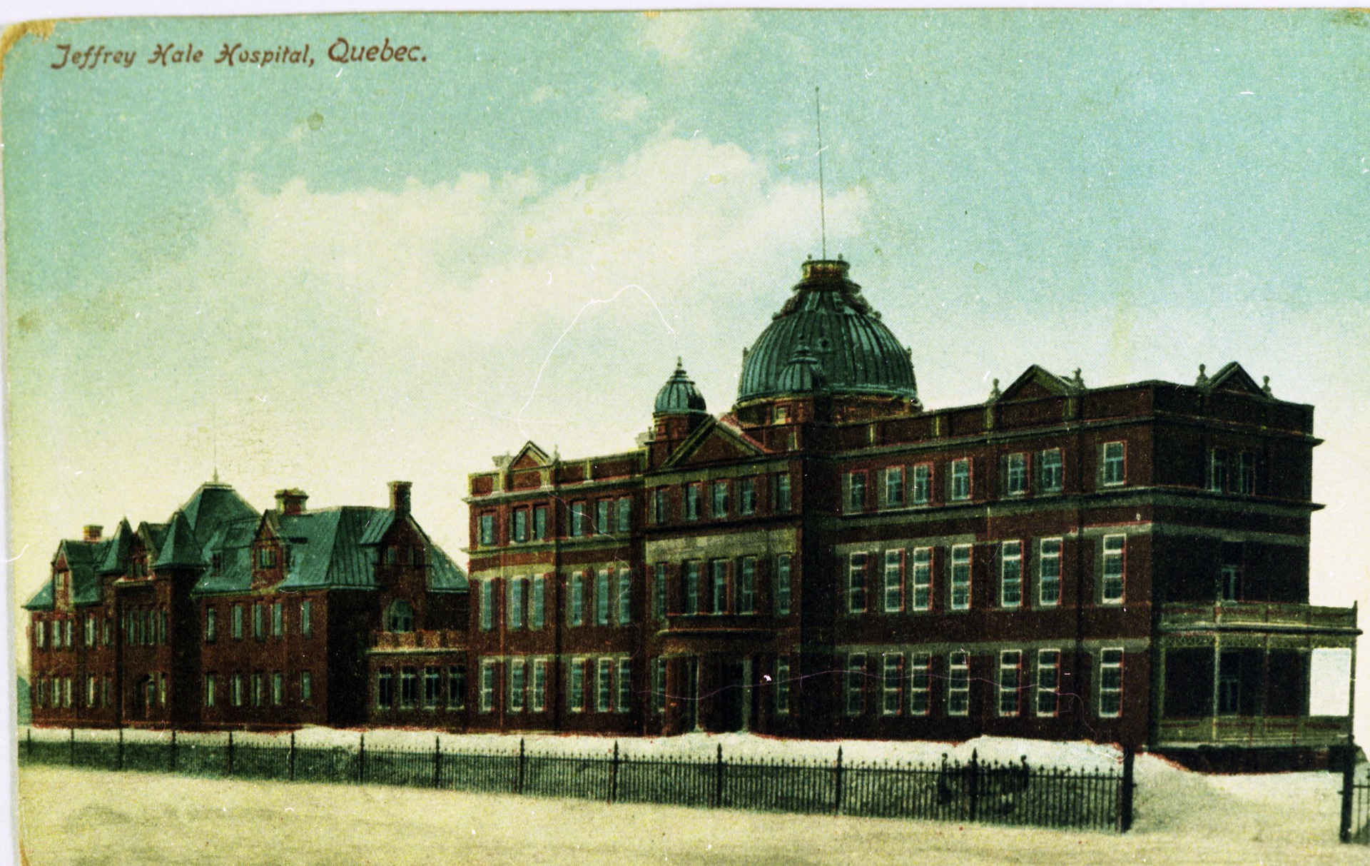
These two pavilions were built between 1900 and 1906, with funding provided by philanthropists from the city’s English-speaking Protestant community.
The hospital was modern for its time. It was built in the era when people were discovering that diseases are transmitted by germs and microbes. The hospital had several separate buildings to prevent the spread of disease. Its third building, specifically for tuberculosis patients, has since been demolished.
Another modern feature of this hospital was its location on the outskirts of the city, away from urban pollution. That may be hard to believe when you look at the view today! But at the time, the area in front of you was entirely farms and forest.
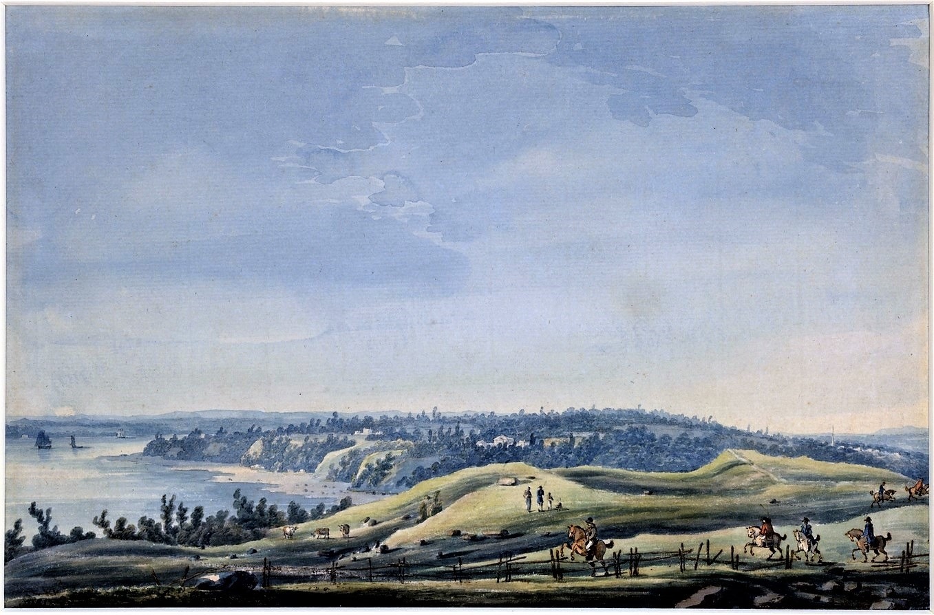
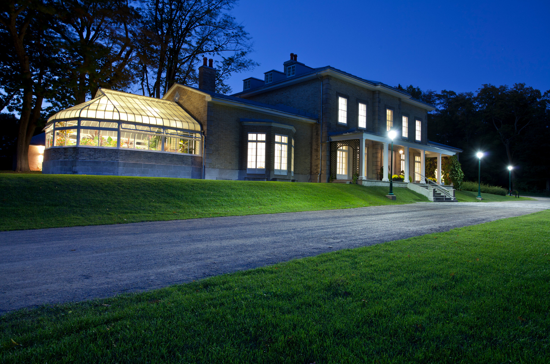
The first major phase of residential development occurred in the early 19th century. The English-speaking burghers wanted to escape the city’s appalling sanitary conditions, so they built villas in the countryside to the west.
Electric streetcars appeared in 1898, initiating a phase of rapid urban development.
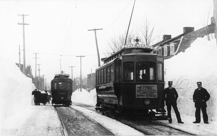
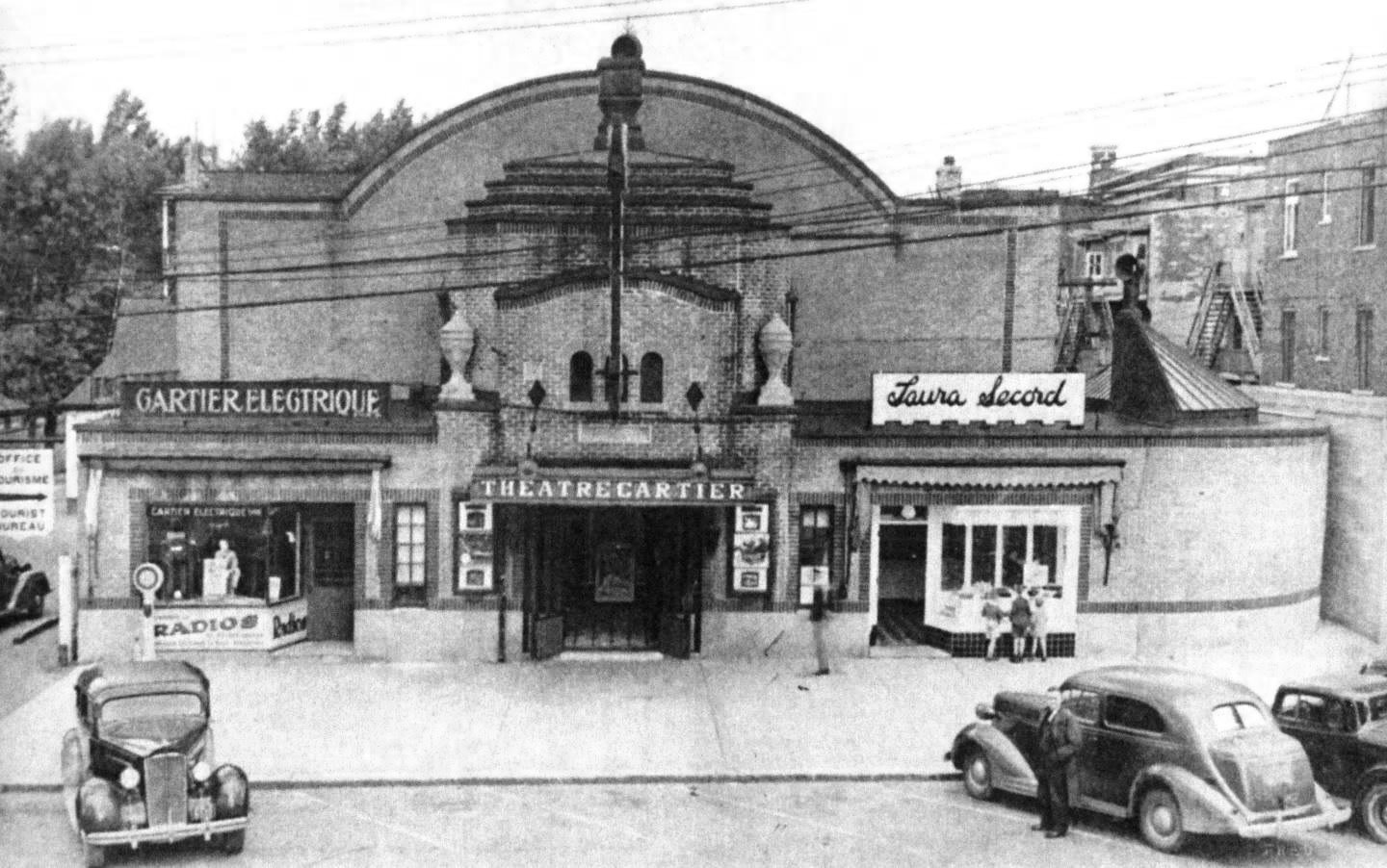
The town of Montcalm was incorporated in 1908 and became part of greater Québec City in 1913. Many shops and a small shopping centre popped up along Cartier Avenue (5). When Cinéma Cartier (6) movie theatre opened in 1928, it reinforced the avenue’s status as a bustling commercial hub.
At the turn of the 20th century, Montcalm also welcomed new types of construction, like row houses and apartment buildings (7). These new buildings changed the look of the neighbourhood. You can see examples of this nearby, on Turnbull Street.
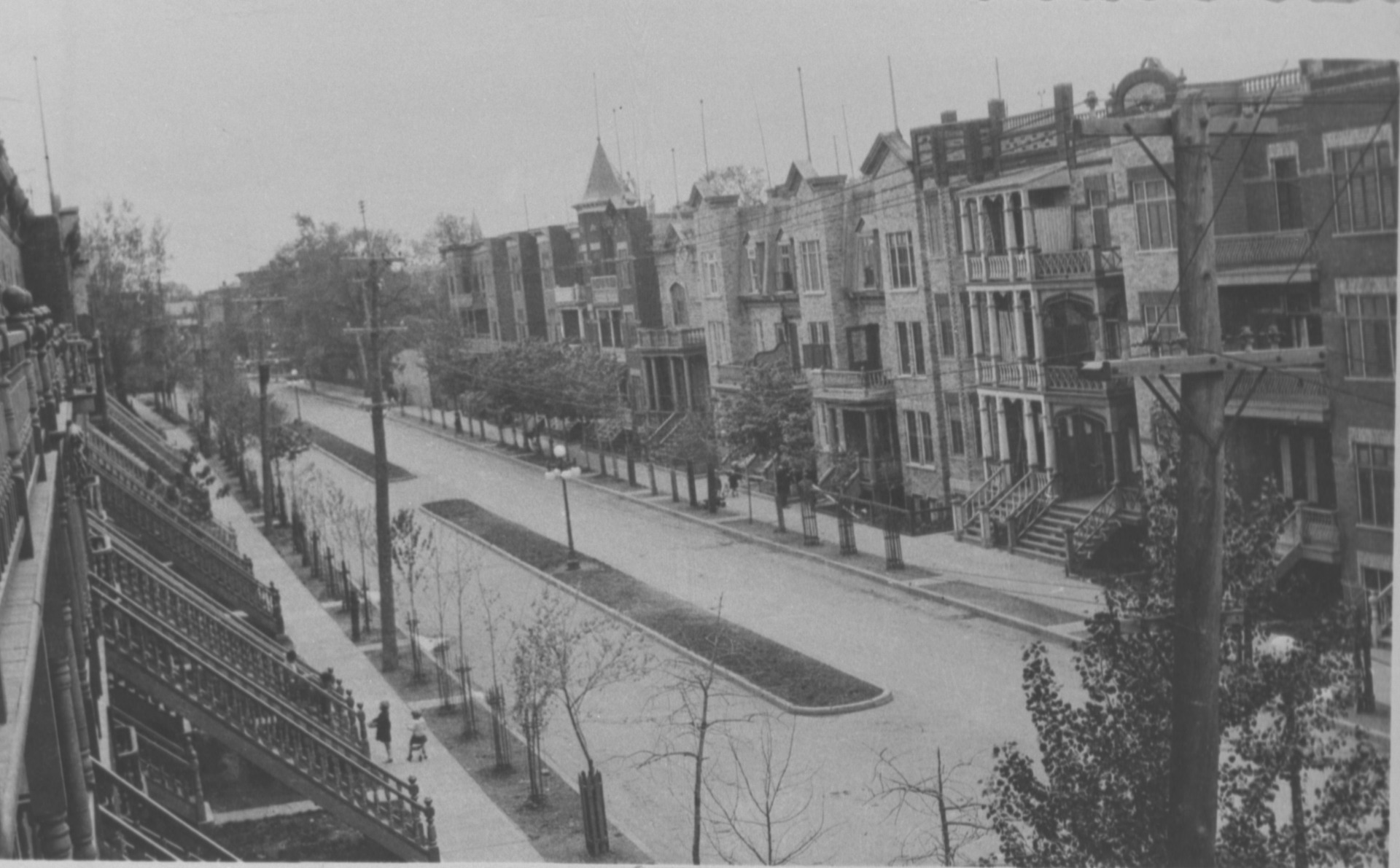
Today, the streets are still predominantly bordered with these buildings and the tall trees that give the area its charm.
From the 1940s onwards, the demographic explosion and the arrival of the automobile encouraged intense urbanization. Large new suburbs quickly began springing up, including Sainte-Foy, which is located on the extension of two major thoroughfares you can see from here—Grande Allée (8) and René-Lévesque Boulevard (9).
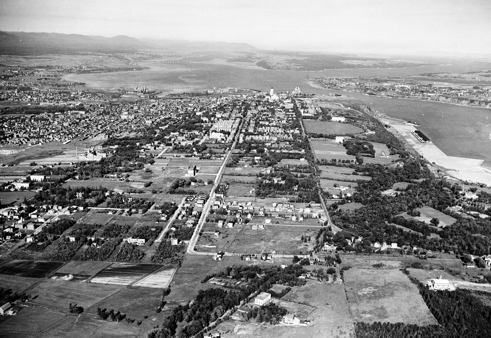
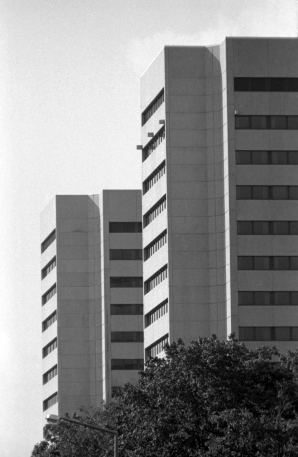
Over the years, Sainte-Foy has shaped itself into a commercial and university hub. On a clear day, you can see the twin towers (10) overlooking the Université Laval campus. These buildings are the Jeanne-Lapointe Pavilion, home to the Faculty of Education, and the Félix-Antoine-Savard Pavilion, home to the Faculty of Philosophy and the Faculty of Theology and Religious Studies.
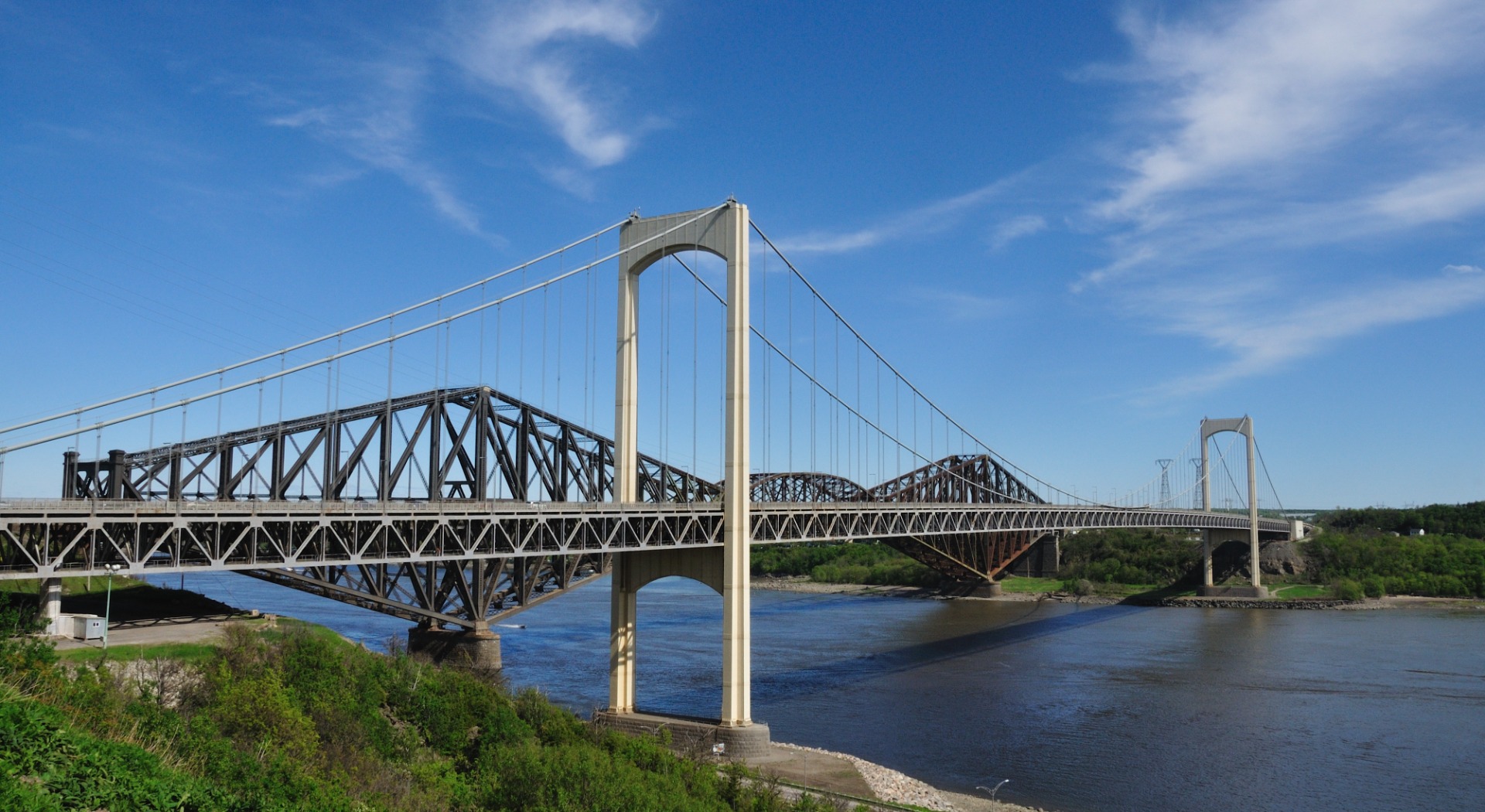
On sunny days, you can spot the two bridges that connect Québec City to the southern shore of the St. Lawrence in the distance. The Québec Bridge (11) opened in 1917. It was first used for rail traffic before it began allowing automobiles in 1929.
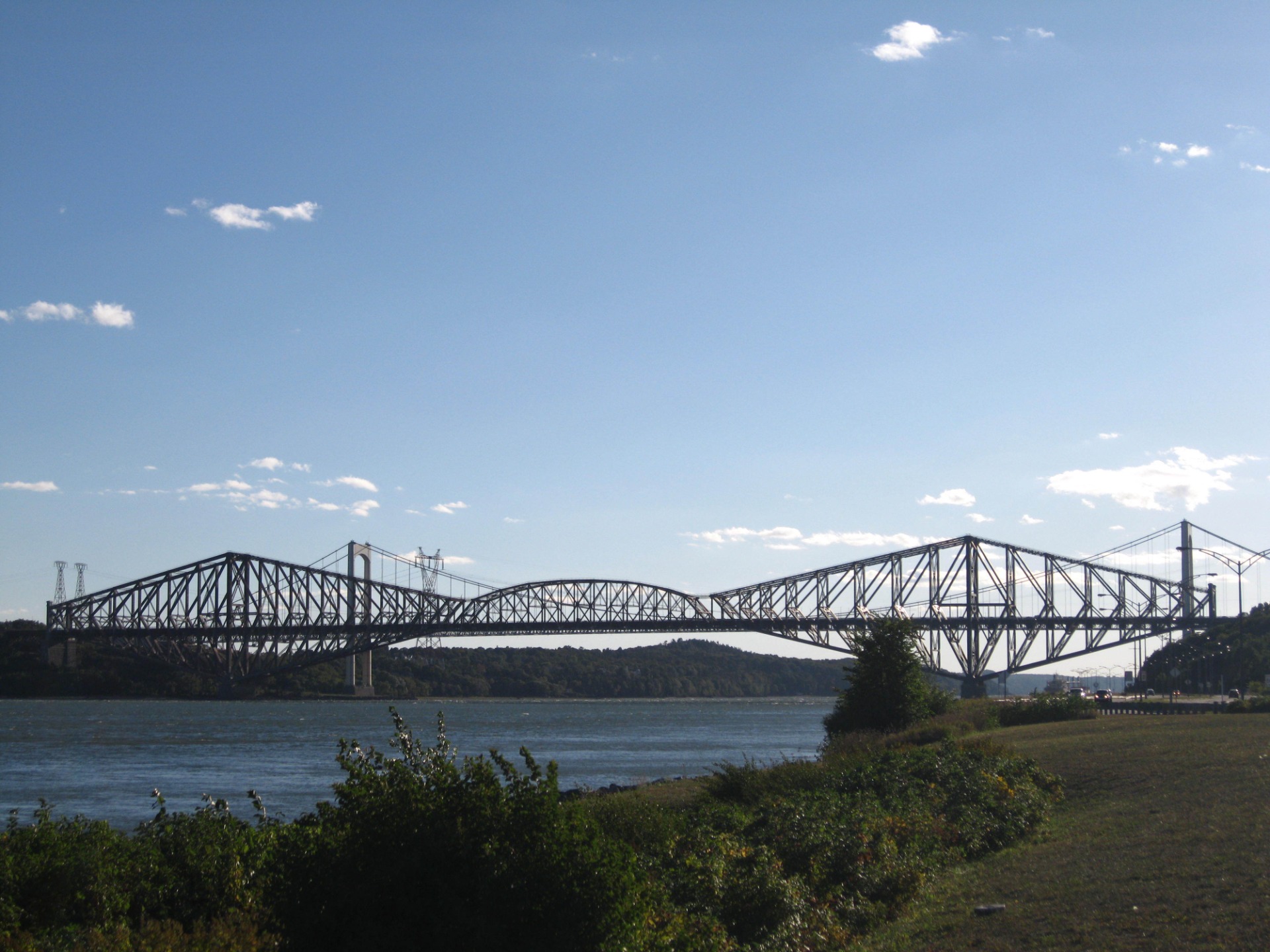
This bridge is a true feat of civil engineering. Measuring 1,801 feet between its two main pillars, it’s the longest cantilever bridge span in the world. The Pierre-Laporte Bridge (12) was completed in 1970.
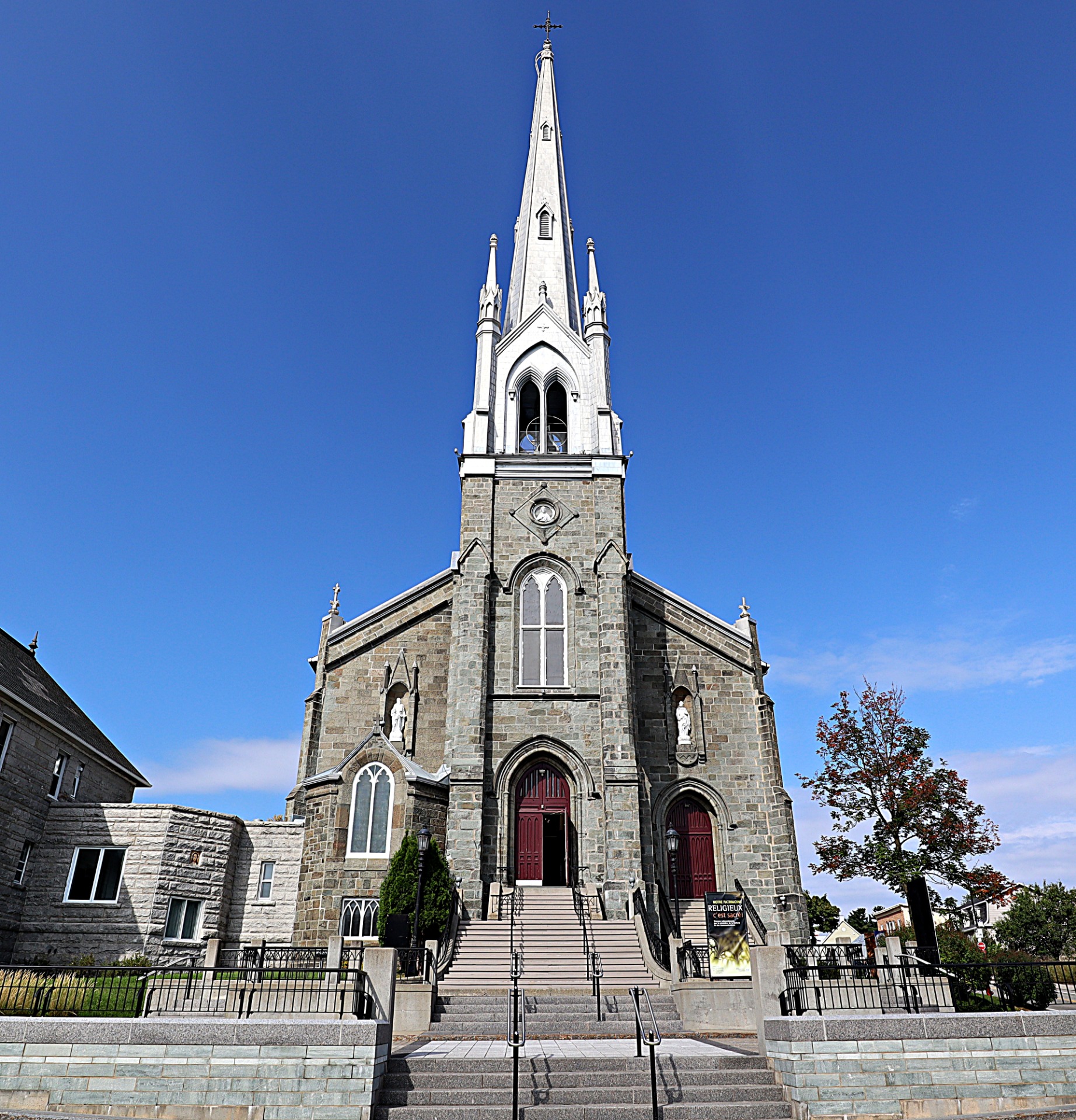
Closer to us, the Saint-Michel-de-Sillery Church (13) stands proudly on an outcrop formerly known as Puiseaux Point.
The former municipality of Sillery developed somewhat differently from the rest of the western part of Québec City.
Want to learn more? See the additional information at the bottom of the page!
Want to learn more about the western side of Québec City? Click on the topics that interest you!
Different ways to explore Québec City
Spotlight on history
Find the locations mentioned in the audio guide on our personalized Google map and continue the adventure after your visit to the Observatoire de la Capitale!
Contenu GoogleMaps externe bloqué
Pour voir le contenu de GoogleMaps, vous devez consentir au stockage de cookies tiers et au traitement des données par GoogleMaps. Consultez notre Politique de confidentialité pour plus d'informations.